Eritrea Sample Map
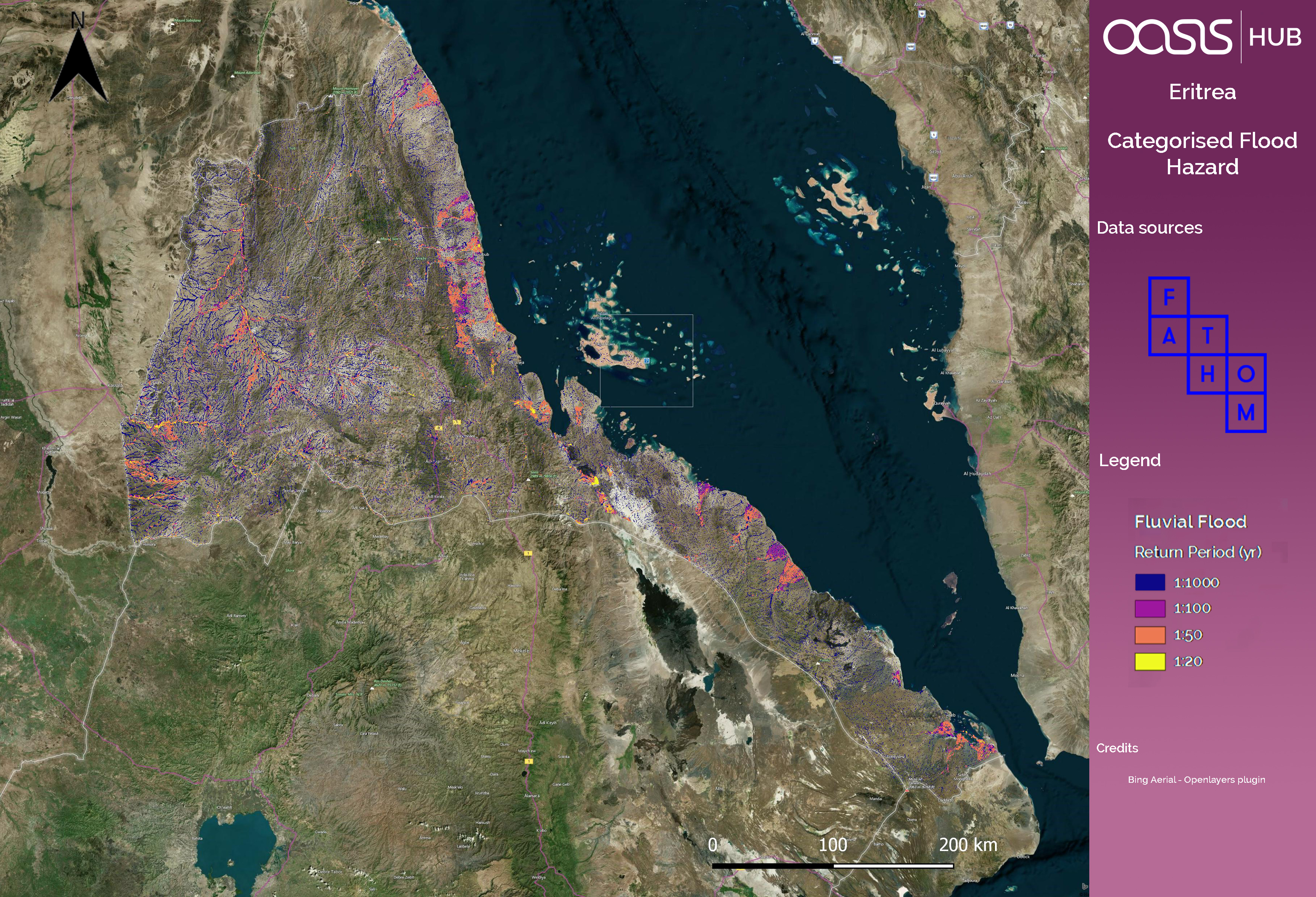
Categorised flood hazard map of Eritrea
Additional Information
| Field | Value | |
|---|---|---|
| Last updated | June 29, 2017 | |
| Created | June 29, 2017 | |
| Format | GIF | |
| License | Creative Commons Attribution | |
| DOI | - | |
| Is sample? | False | |
| created | over 8 years ago | |
| format | GIF | |
| has views | 1 | |
| id | 83503388-3fb3-49c4-8a30-6f4aa5e116b5 | |
| on same domain | 1 | |
| package id | 957f5f6c-c3c5-4864-a071-387dd40f328a | |
| revision id | 36f4109c-5284-40a4-bd28-33f3244682a6 | |
| security type | open | |
| state | active | |
| url type | upload |