Innovative artificial intelligence mapping of fluvial flood hazards launched on Oasis Hub
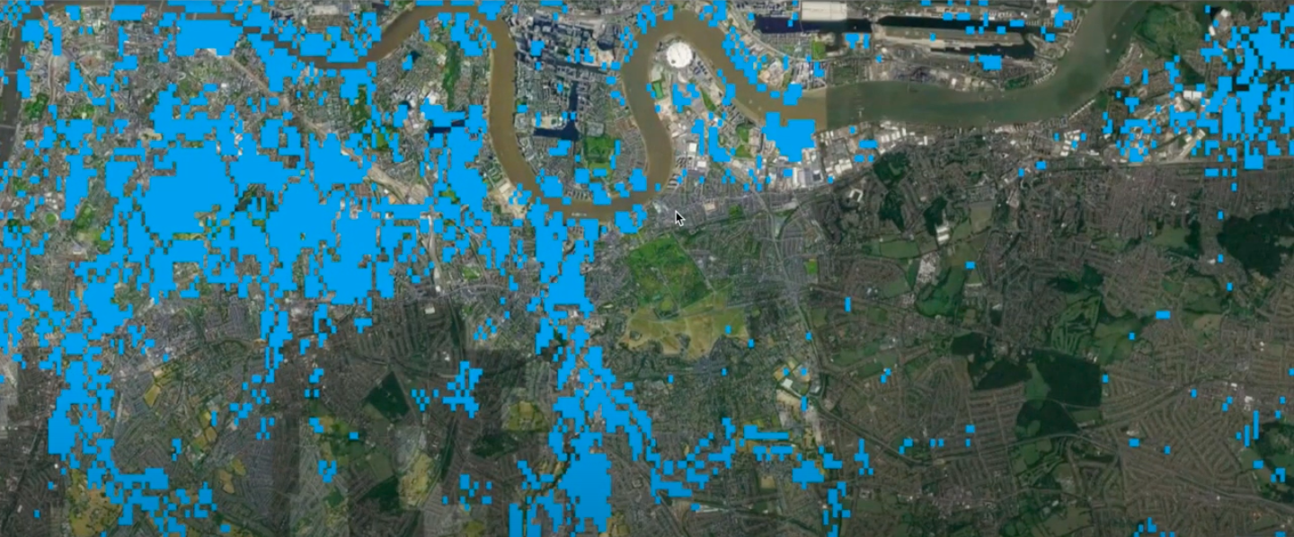
The SmartFLOOD platform reduces the cost and processing time of mapping fluvial flood hazard at large-scales and at high-resolution. It generates comprehensive flood hazard maps in real time at 25m resolution for Europe, and at 90m resolution for the rest of the world.
Users can choose from a list of freely available flood hazard maps, or upload their own, such as results of hydrodynamic modelling, on-site surveys or delineated from satellite products.
Using information from already existing flood studies (i.e. those coming from complex flood models, field studies or remote sensing detection) the information is interpolated to uncovered regions, for example from a sub-basin to the entire hydrological basin, or to larger scales through calibration of a generated geomorphic flood index (GFI) and downscaling hazard reference maps.
Tracy Irvine, managing director and cofounder of OasisHub.co said “The integration of large scale and high resolution open data and artificial intelligence algorithms is extremely supportive of robust evidence-based decision-making in flood risk management.”
Stefano Bagli, CEO of GecoSistema added“We’re very pleased that SmartFlood is now available to 1500 OasisHub.co members in the insurance, finance, development & engineering and consultancy sectors.”
Users should visit oasishub.co/tool/smartflood-europe. Having registered, selected a region and a hazard map, GecoSistema will activate the subscription allowing you to choose free or commercial reference maps (or upload your own), the period the event should cover (e.g. 50 year return period), allowing a map to be instantly created.