New forest fire tool launches on Oasis Hub
The tool came about as a result of insurers and reinsurers sharing their need to understand extreme forest fire situations that have the potential to damage their insurance portfolios. The result is a decision-making tool for climate risk and forest fire assessment, management and planning.
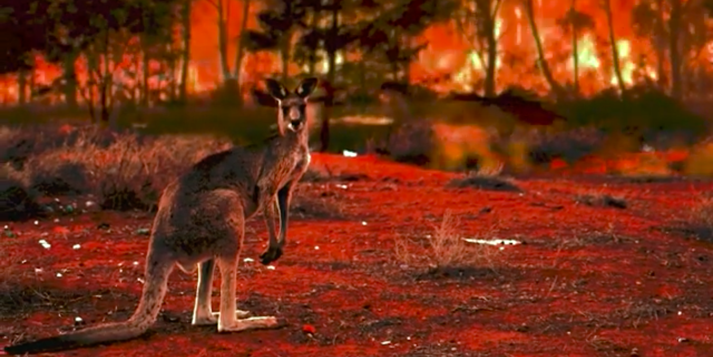
Forests have until now been mostly underinsured. Extreme fires occurred in 2019 and 2020 in Europe, California, Australia and elsewhere, at an unprecedented scale. Major fires have been becoming more frequent with rising global temperatures and are becoming a concern not just to the forestry companies but also local communities, schools, hospitals, fauna and flora.
Talking with insurance companies Aria Technologies understood that there was a gap to breach between existing operational tools and scientific models that rely on meteorology - an important factor for the propagation of a fire.
The RISK FP (risk fire propagation) tool was built, based on a huge weather database covering the past 30 years, allowing simulations for past events. Once the insurers have this information they can select specific days and make realistic disaster scenarios of propagation of fire.
Phil Cottle, Managing Director of ForestRe Limited said -
“One of the biggest problems insuring forestry against fire or wind is knowing how bad it can be. Until you have these events you have no idea.
The tool can run the fire and see how bad it can be without destroying a single hectare. If insurers can put a number or a value on the worst case based on hourly weather data for the last 20 years then they can price more accurately. If we can't do that then we guess. That's why we need that knowledge.”
Designed as a simple web-based tool to support decision-making, users can plot fire propagation, the realistic disaster scenarios based on the risk map which shows the ease for fire to propagate, as well as seasonal forecasts and climate forecasts to give the frequency of possible days with extreme events of fires.
The aim going forwards is to make more use of this across the insurance, risk and forest management sectors. The tool brings further credibility to forestry underwriting, modelling losses and deriving from those models risk pricing at different levels of limits and tree types.
Try the tool here. Email us to request a demo or ask a question about the Risk FP tool.
Watch our film about modelling wildfire propagation.