Webinar Replay: Using maps, models and technical insights to understand flood risk
Nov. 28, 2018
Join the conversation to hear how JBA is using maps, models and technical insights to understand flood risk
Join me Jim Craig, John Bevington (Technical Director) and Jessica Boyd (Catastrophe Risk Analyst) from JBA.
We discussed how improved models, data and tools, commonly used by insurers, are being used in global disaster risk management and development projects to better understand flood risk. We'll also hear how catastrophe models are providing a detailed understanding of flood dynamics to support nature-based and engineered solutions to reduce flood risk, and how innovative new methods are now providing forecast flood maps, supporting earlier decision making and potentially reducing the impacts of floods.
After the webinar you will:
- understand how improved science, data and models are currently supporting risk management decisions around the world.
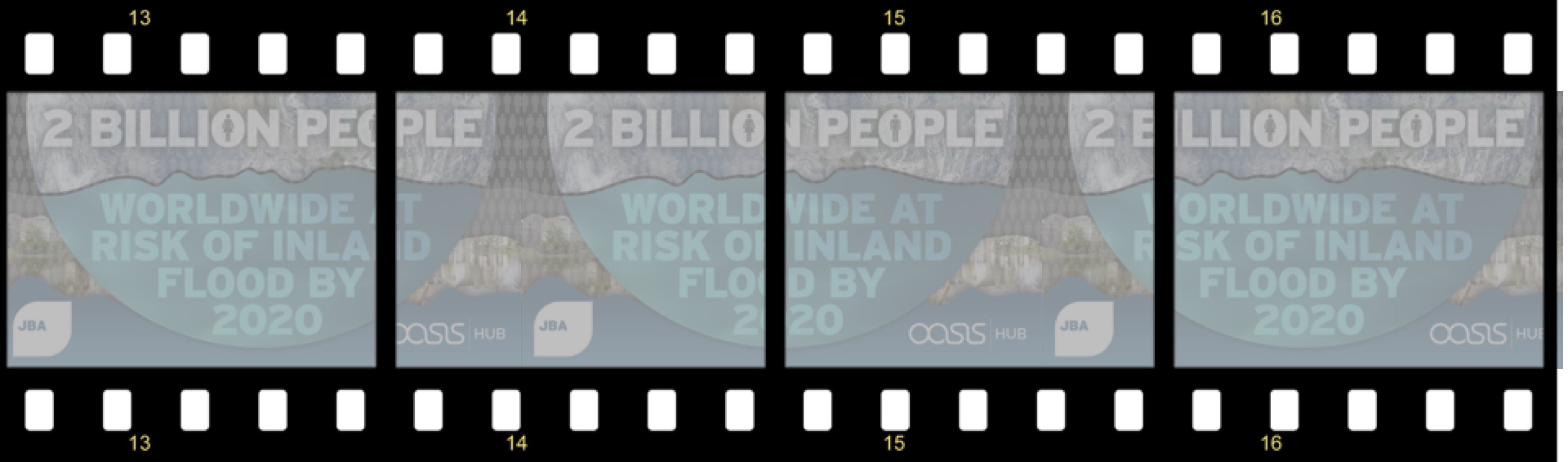
- have insight into how disaster risk financing and insurance is benefitting from using flood risk data.
- understand how the wider availability of flood risk data, models and forecasting systems is driving innovation in climate services and forecast-based action.
Get the data:
You can access the datasets on the Oasis HUB here.