The top Oasis Hub downloads, tools and services in June & July 2020
July 29, 2020
Here's what Oasis Hub members have been most interested in June and July 2020
As always if there are data, tools are services you'd like to see on the Oasis HUB, or you have some you'd like to share, either free or commercially, drop us a line at hello@OasisHub.co.
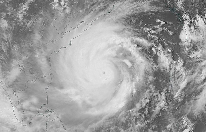
- Typhoon Amphan - Event Track & Forecast
- Indonesia - Shear Wave Velocity (Vs30)
- Global - Flood Hazard Map 50 year return period
- Philippines - All Provinces Modelled Landslide Hazard Maps
- Asia - Real time crops and drought monitoring
- Philippines - Modelled Storm Surge Map of Capiz - 2 metres height
- Netherlands, Groningen - Exposure Dataset Sample - Risk-related Features Automatically Derived from Street-Level Images
- Japan Shear Wave Velocity (Vs30)
- USA - Historical Tornado Tracks
- USA - Hail Historical Record
- Tropical Cyclone Exposure Database (TCE-DAT)
- Future Danube Catastrophe Model: Fluvial and pluvial flooding (OasisLMF-compliant)
- Europe - Urban Atlas Building Height 2012
- Bangladesh - Tropical Cyclone Historical Catalogue
- NDC Explorer
- Hawaii - Volcano Lava Flow Hazard Zones
- The Significant Volcanic Eruption Database
- Chile - Tsunami flood depth
- Africa - Daily Rainfall Estimates 2.0
- Europe - Flood Hazard Map 20 year Return period
- California - Current & Past Wildfire Statistics
- The ISC-GEM Global Instrumental Earthquake Catalogue 2018
- Delft3D - modelling suite for hydrodynamics, sediment transport and morphology and water quality for fluvial, estuarine and coastal environments
- United States of America Buildings Footprint
- Global - Annual Severe Drought Likelihood
- Global - Crop Calendar Dataset
- Australia - Landslide Catalogue
- Hurdat 2 - Northeast and Northcentral Pacific Ocean
- USA - Historical North Atlantic Tropical Cyclone Tracks, 1851-2004
- Global Landslide Model - 2017
